Monday, November 20, 2023

Amos Mountain, Deer Hill Spring, Lord Hill, & Hawk Mountain 11/20/2023

With today's excellent weather, I decided to head over to the Oxford Hills and White Mountains to hike some new to me trail segments on a variety of mountains that I had been on before.
My first hike was a very short one in the Heald & Bradley Ponds Reserve. The Homestead Trail is a short trail which was a new addition to the latest edition of the Maine Mountain Guide. It was a quick out and back hike up this trail, which has some interesting foundations near its end.

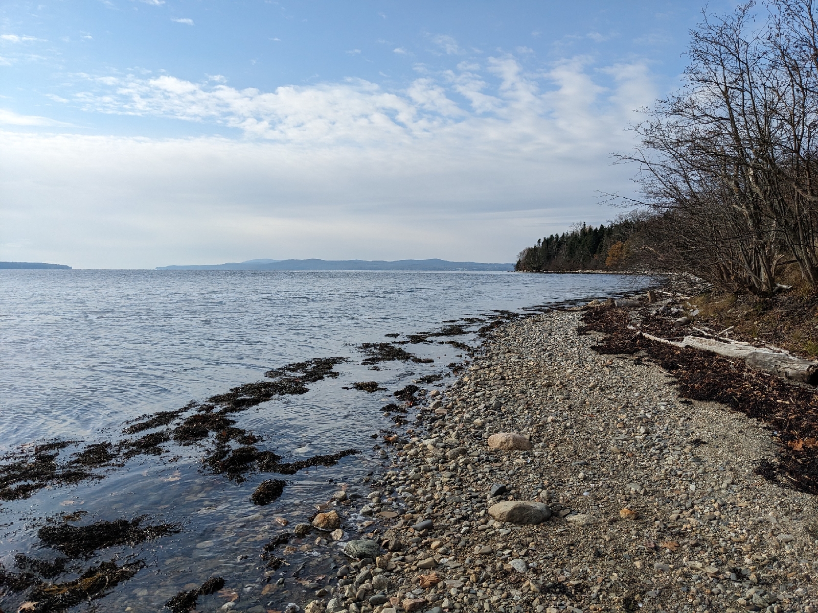
Next up was another hike in the Heald and Bradley Ponds Reserve from a different trailhead. I hiked a loop up and over Amos Mountain, utilizing the Rogers Family, Heritage Loop, and Amos Mountain Trails. This was a nice little loop and I enjoyed the views west from the viewpoint on the Heritage Loop Trail.

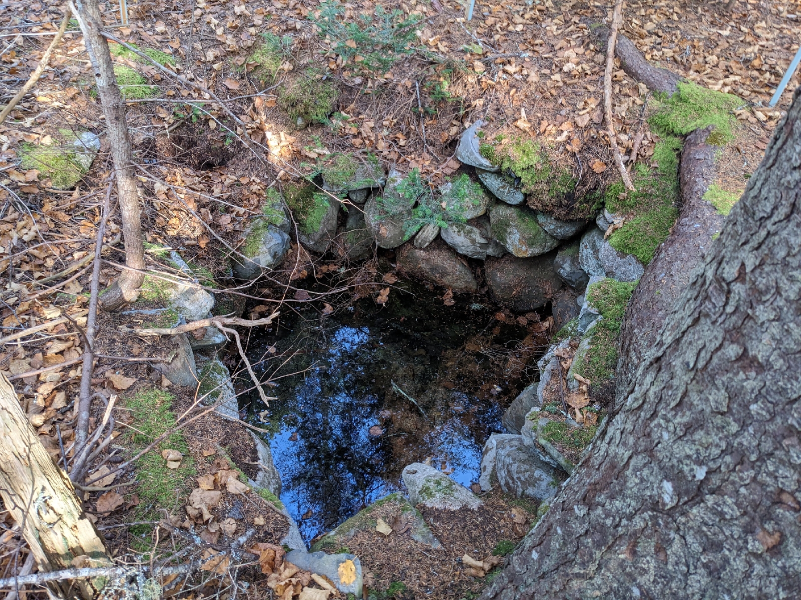
I then drove a bit west into the White Mountain National Forest. I wasn't certain whether or not the gates on the Deer Hill Road would still be open, but they were, despite the coating of snow on the ground. This hike was another relatively short out and back, this time to Deer Hill Spring off of the Deer Hill Trail. Deer Hill Spring is a very unique spot, and the water was spurting up quite close to the edge of the pool today, so it was easy to observe up close.

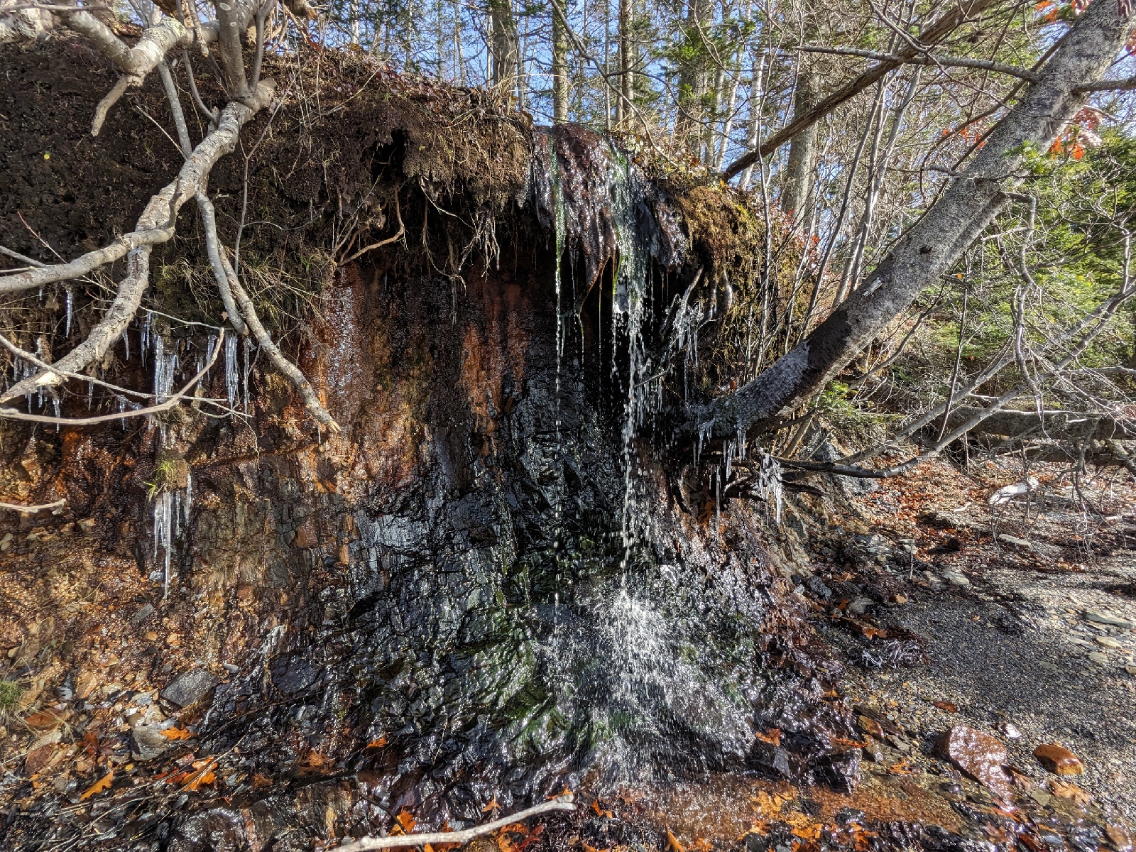
My fourth, and longest hike, was nearby on Lord Hill. I drove up Forest Road 9A, a short distance past the split in the Conant Trail Loop, to park. I then made a loop via the Mine Loop and Conant Trail over Lord Hill. This was quite a nice loop through hardwood forests, with only one short steep part. I walked through the mine pit and enjoyed the view over Horseshoe Pond, before heading back down.

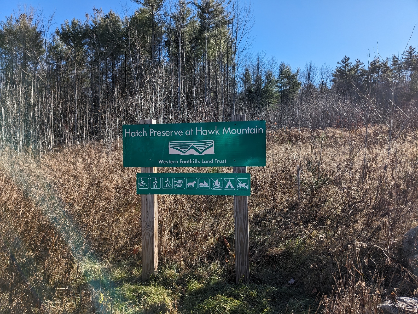
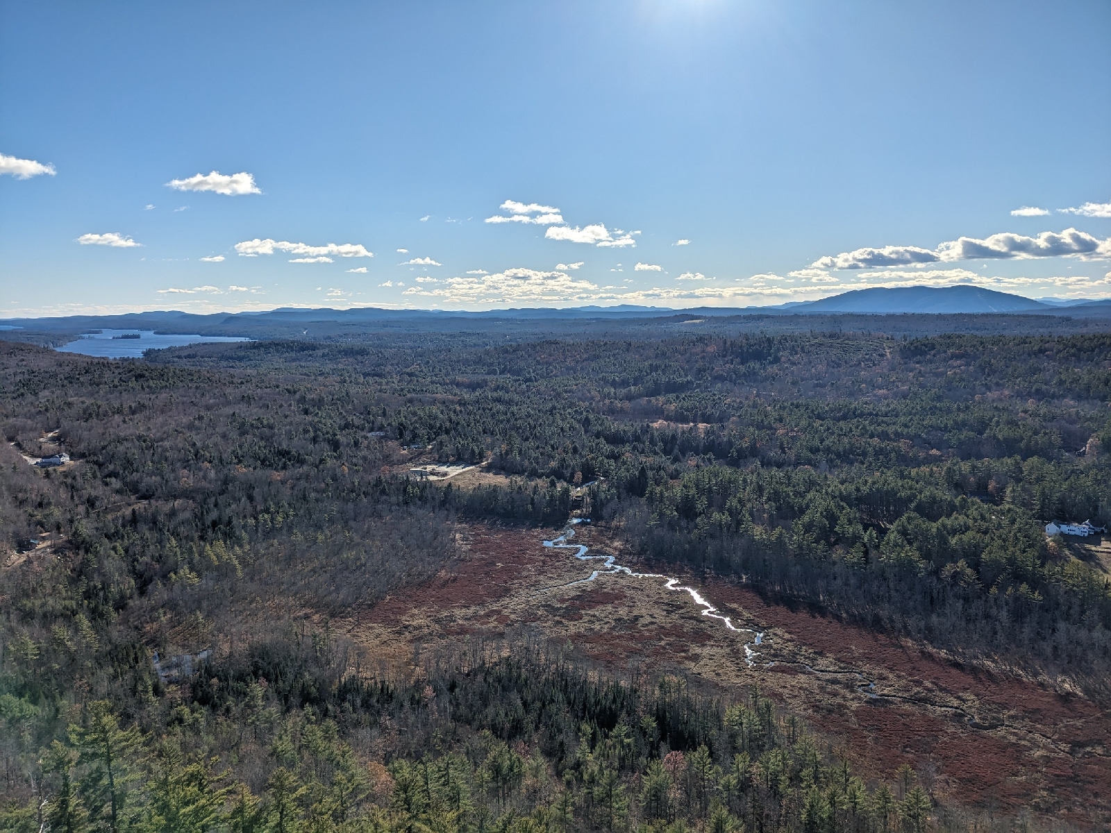
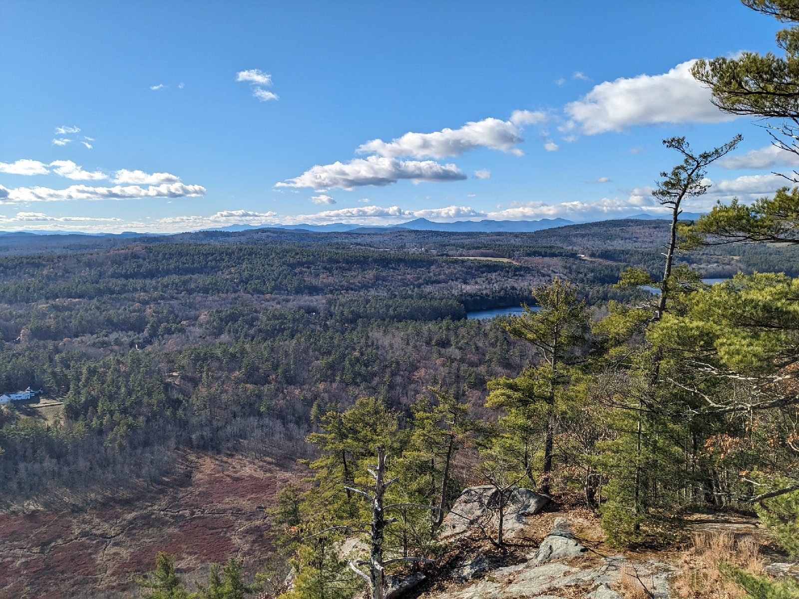
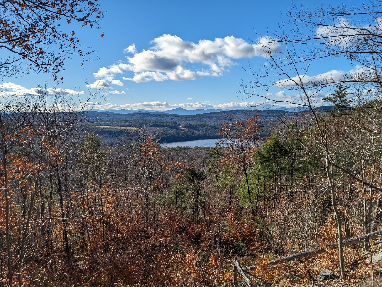
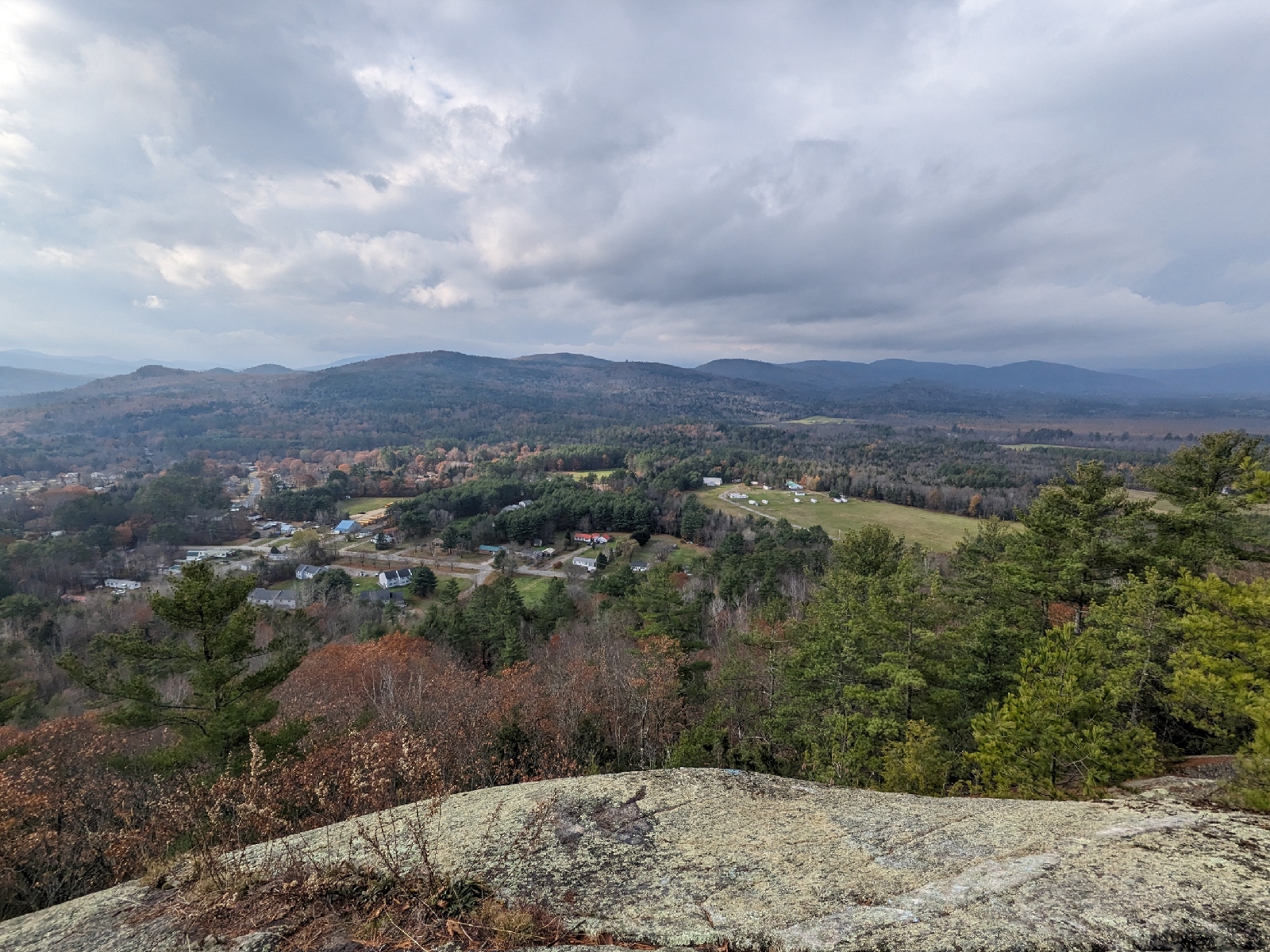
My last hike was up Hawk Mountain in Waterford. The dramatic south facing cliffs on this mountain make it one of my favorites in the Oxford Hills. Last time I visited, the Cyrus Trail was the only hiking trail that had really been cleared on the mountain. As of my hike today, it appears thatmost, of not all of the trails shown on the trail map are now cleared footpaths and not just overgrown skid roads. I ascended via the Cyrus Trail, as that was the portion of the loop described in the MMG which I had not yet done. If you aren't specifically trying to follow the guidebook's described route, I would recommend actually avoiding the described route, as the newer footpaths are far more interesting than the eroded Cyrus Trail and the fire road. I visited the summit (no cairn) and the spectacular viewpoint, before descending via the Africa & America Trails. This was a pleasant descent route which brought me past another small viewpoint looking west.

Tuesday, November 14, 2023

Sears Island, Searsport 11/14/2023

For the second time in two years, I have been forced to make a last minute change of plans due to a mechanical issue with the Islesboro ferry. Like last time, our backup plan today was once again Sears Island. We hiked some of the interior trails that I had not yet been on, and we walked along a portion of the southern shore. This is the perfect time of year to explore Sears Island as it isn't as crowded, and you don't have to worry about ticks.

Starting our hike on the beach
An old foundation
Loop Trail
An old well
The trails were well signed
A viewpoint on top of a bluff at the south end of the island
The beach on the southern shore
Sierra walking on the beach
A small waterfall on the beach
The old jetty

Tuesday, November 7, 2023

Bull Rock, Dixfield (912') 11/7/2023

This afternoon, we went for a short hike up Bull Rock in Dixfield. We decided to make a loop, ascending via the trail described in the newest edition of the Maine Mountain Guide from 142, and descending via the traditional route from Moxie Heights Road. I hadn't taken the trail from 142 before today, and we discovered that it is an extremely steep trail with lots of erosion and poor footing. While steep, it does provide direct access in 0.3 mile to Bull Rock, compared to the longer, albeit far less steep, 1 mile long route from Moxie Heights Road. It also has about double the elevation gain, (400' vs. 200') compared to the route from Moxie Heights. We found that it was excellent to do as a loop in a clockwise direction, as the descent down to 142 could have been downright hazardous today with the wet leaves and rocks on the steep trail. Bull Rock is always a great spot to visit, and is also a nice side trip on the hike up Sugarloaf. It provided a very nice view out over the village of Dixfield and up the Androscoggin River Valley.

The trailhead on Route 142
A bridge on the trail just before it gets very steep
Dixfield from Bull Rock
Sierra enjoying the view
The view northwest from Bull Rock
The Sugarloafs from Bull Rock
Heading down the other side

Monday, October 30, 2023

Cathedral Pines Pathways 10/30/2023

Today's storm delivered 4 inches of snow to the Eustis area, so we headed up to Cathedral Pines Pathways for my first ski day of the season, although Sierra decided just to walk, instead of ski. The 4 inches of dense snow was enough to cover most of the loop trail well. The only areas with issues were wet areas where the ground hadn't frozen yet. Although this snow will probably only be skiable for the next 48 hours, it was great to be back out in the snow and on skis!