Friday, September 29, 2023

Yamaska National Park, Quebec 9/25-9/28/2023

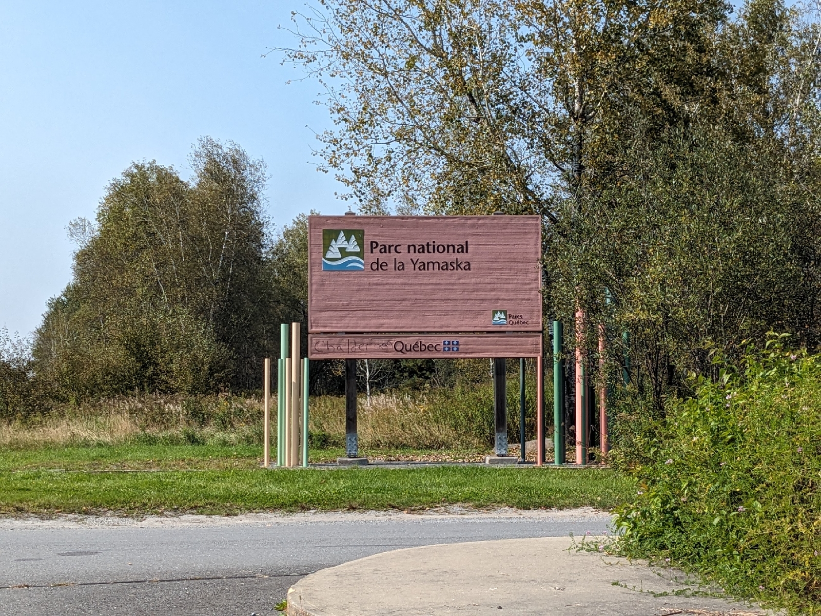
We spent 3 nights this week, camping in Yamaska National Park, just outside of Granby, Quebec. This national park surrounds Réservoir Choinère and has a variety of hiking trails, campgrounds, and bicycle paths.
 
The park entrance sign
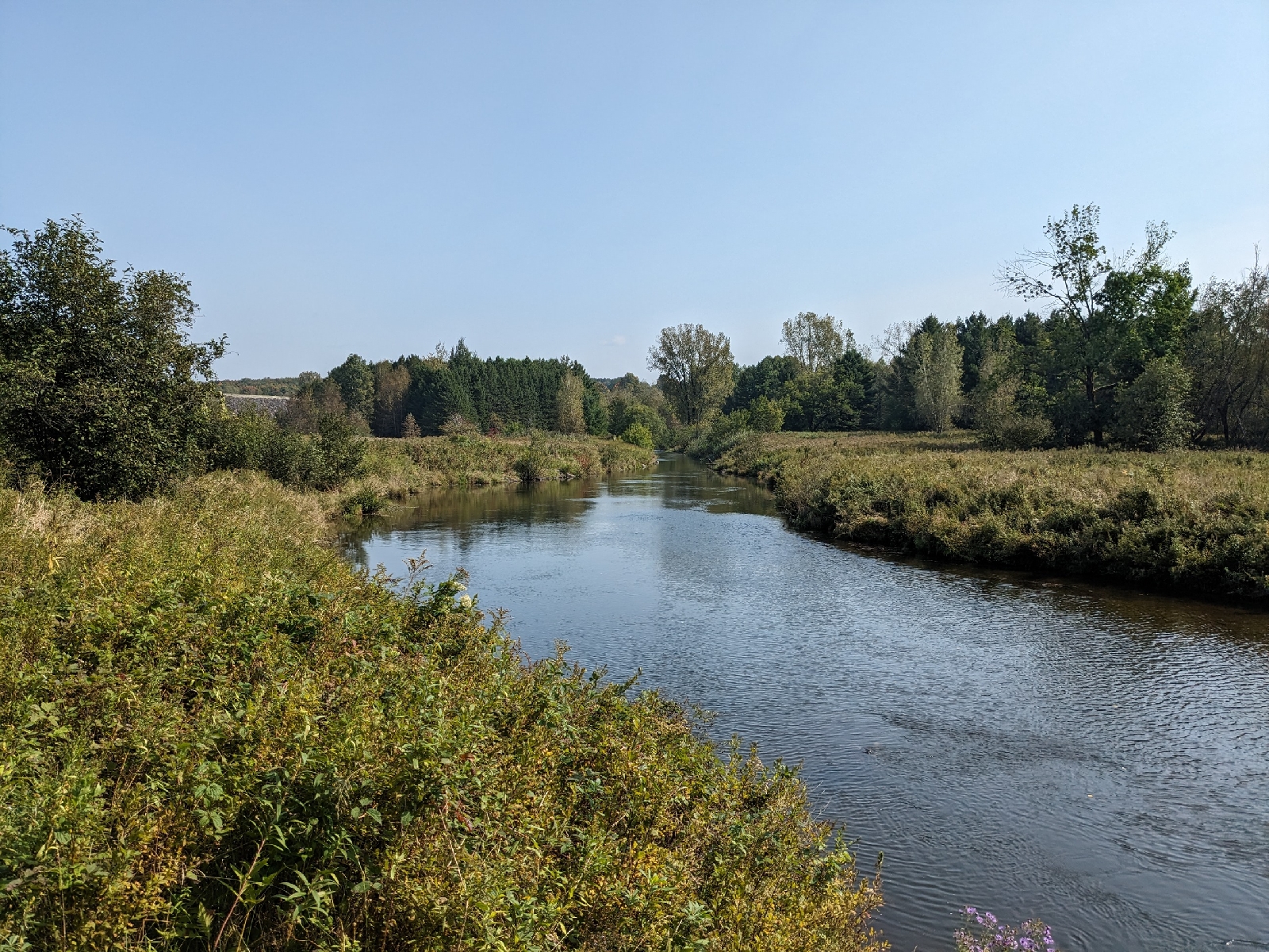
After driving to the park on Monday, we arrived around 1:00, and went for a short hike on Sentier La Rivière.
 
The trailhead for Sentier La Rivière
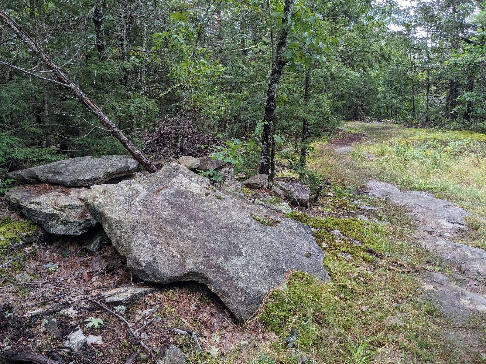
This is an easy 2.5 km trail which winds through open forest, alternating between areas of softwood and hardwood.
 
Sentier La Rivière
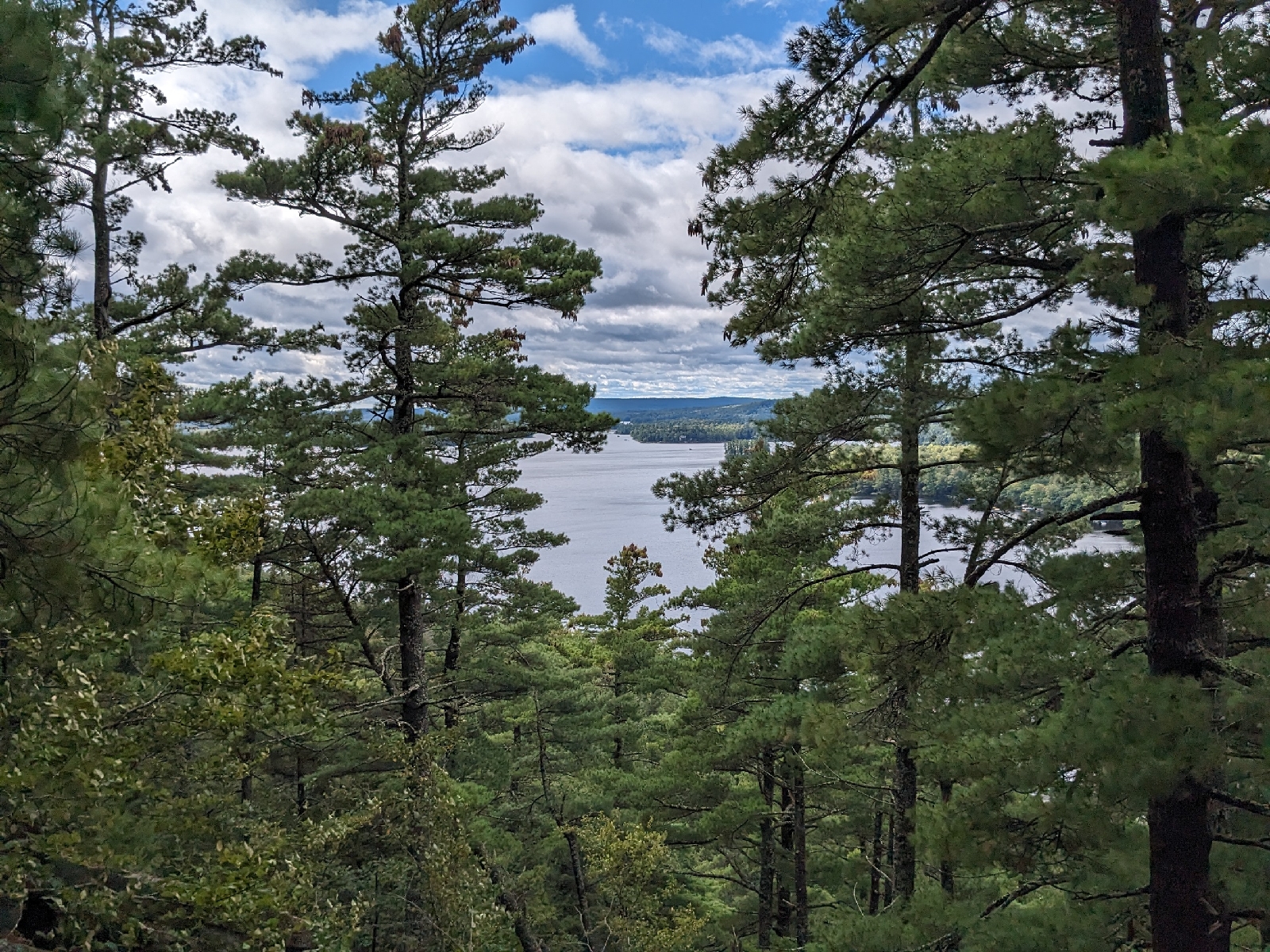
At the far end of the trail are a couple of picnic tables looking out over the Rivière Yamaska Nord.
 
Rivière Yamaska Nord
After returning from our short hike, we headed to our campsite to set up camp.
 
Our campsite, number 146
The campground is divided up into 7 different sectors. We were in Secteur Les Roselins. This is the northernmost part of the campground, and contains walk-in tent sites. From your car, wheelbarrows are available to help you carry your stuff to your site. We had an excellent site right on the water.
 
Réservoir Choinère from our campsite
It was also a very private site with no immediate neighboring sites. This part of the campground was almost deserted, and there were only a couple more campers in the entire sector.

We set up camp, and had a dinner of hot dogs and mashed potatoes over the fire. This was our first time trying BBQ hot dogs, which I suppose is a Canadian thing. They had an interesting flavor, almost like the flavoring from BBQ chips had been added. We both agreed that they were pretty good.

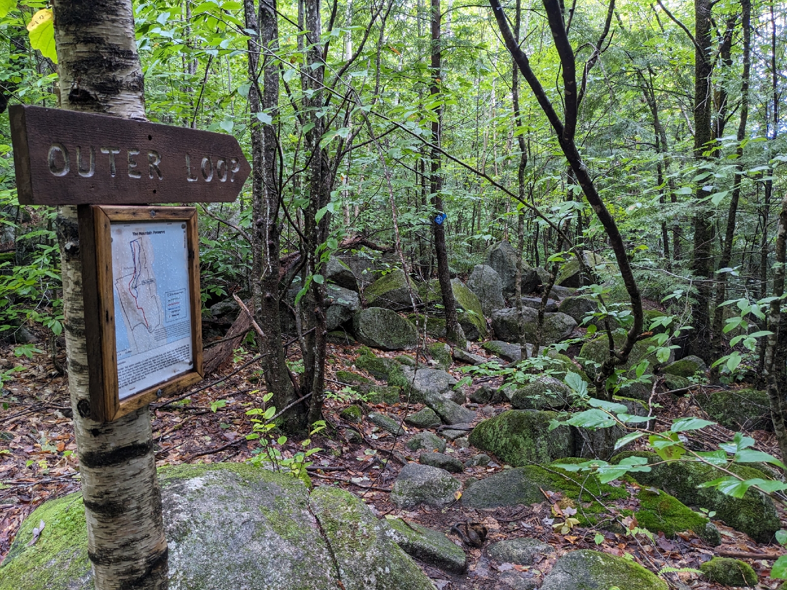
On Tuesday, we started out on a longer hike through the park. We started on Sentier La Forestière, before continuing on Sentier La Digue and Sentier La Pinède.
 
Sentier La Forestière
These are all relatively easy trails which pass through the varied forests of the park.
 
Sentier La Digue
The forests range from dark spruce forest, to open maple forest, and were all very interesting.
 
Sentier La Pinède
We had lunch at one of the picnic areas near the far end of our hike, and then headed back to the campground via the bike path which circumnavigates the park.

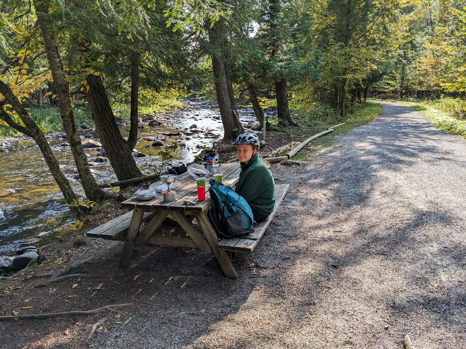
Wednesday's goal was to ride La Grand-Tour. This 19 km long stone dust bike path encircles Réservoir Choinière.
 
La Grand-Tour
It's a very well constructed path with lots of rest stops and viewpoints along the way. We greatly enjoyed our loop around the lake, and found a perfect picnic area on the Rivière Yamaska Nord to cook some ramen for lunch.
 
Our lunch spot on the Rivière Yamaska Nord
The northern part of the loop is more wooded and hilly, while the southern portion hugs the lakeshore with fewer hills.

On the last day of our trip, we packed up camp and started heading east. We stopped in Scotstown at Parc Régional du Marécage-des-Scots.
 
Parc Régional du Marécage-des-Scots welcome sign
The Rivière au Saumon and Ruisseau McLeod flow through the park, and a bike path travels through the center of the park by both waterways.
 
The bike path through Parc Régional du Marécage-des-Scots
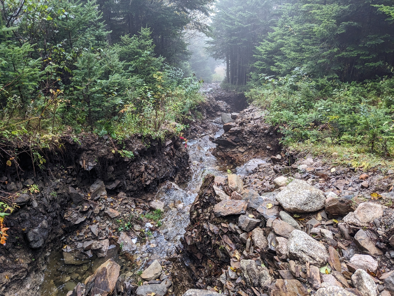
We did an out and back ride along the length of this path. As was the case with the previous day's ride, the bike path was stone dust with excellent signage, and lots of stops along the way. However, there were very few people on this path and it wound its way through much denser forest than we found in Yamaska National Park. It was a beautiful ride with lots of great foliage, especially along the stream.
 
Ruisseau McLeod
After this enjoyable ride, we finally headed back across the border to home, after a quick poutine stop in Woburn, of course!

Wednesday, September 20, 2023

Coburn Mountain, Upper Enchanted Township (3,720') 9/20/2023

The snowmobile trail up Coburn Mountain is included in the new edition of the Maine Mountain Guide, and I had not hiked that route up yet, so it gave me a good excuse to go back to Coburn. The road to the trailhead is in excellent condition, and I arrived around 8:45.

The trailhead
I had heard that a storm earlier in the year caused significant damage to the lower portion of the trail, so I was interested to see how bad it was. It turns out it was pretty bad! Water had carved a canyon up to 6 feet deep in the trail. 
 
An extremely eroded section of trail
This portion was somewhat tricky to navigate, due to the loose rocks and dirt, but luckily it didn't last for too long. 
 
The first radio repeater
Just past the first radio repeater, I turned right off of the snowmobile trail onto the footpath to the summit.
 
The start of the footpath to the summit
The footpath seems to have seen some significant maintenance since I was there last. It now follows a well cleared trail corridor and both end points on the snowmobile trail are clear and obvious. It is still just about as steep as a trail can possibly be without being a scramble, and it luckily hasn't seen much of any erosion. The steepness of the trail is impossible to capture in photos, but I've given my best attempt.
 
A steep section of the footpath
I took this picture looking across the hillside to try and give a sense of how steep the trail is
The summit was in a cloud when I reached it, and it unfortunately didn't seem to be going anywhere anytime soon. 
 
The summit observation tower
The summit area and second radio repeater from the tower
I spent a bit of time exploring around the summit, and walked a short distance down the old fire watchman's trail heading north of the summit.
 
This was the former fire tower which collapsed in an ice storm in 1938

Telephone cable and an insulator for the fire tower just north of the summit
Remains of the fire tower cab
On the descent, I followed the snowmobile trail.
 
The upper part of the snowmobile trail
The upper part wasn't bad, but the section below the switchback was very grassy and wet.
 
A very wet section of the snowmobile trail
I would definitely recommend avoiding the snowmobile trail in most circumstances and instead just doing an out and back on the footpath. After reaching the lower radio repeater again, I headed back to my car along the lower portion of the snowmobile trail/old road.
 
Heading down the last section of trail
On the drive out, I stopped briefly at Markham Pond, near the start of the Enchanted Mountain Road.
 
Markham Pond
Although I didn't get any of the outstanding views from the top today, it just gives me another reason to head back to Coburn again in the future!
 

Tuesday, September 19, 2023

The Mountain, Rome (665') 9/19/2023

Wanting to get a short hike in before we went to the Farmington Fair in the afternoon, my fiancé, Sierra, and I decided to hike The Mountain in Rome. The Mountain is a small peak with a trail network maintained by the Seven Lakes Alliance. As is often the case, we decided to take a rather unusual route up the mountain, so I could complete a few short sections of trail that I had yet to hike.

The trailhead off of Mountain Drive

We started up the Main Trail which we followed until the upper junction with the Great Pond Loop, where we turned right.

The wide Main Trail

After descending a short distance, we turned left at the lower junction with the Outer Loop.

Cairns on the Great Pond Loop


Start of the Outer Loop

The Outer Loop is my favorite trail on the mountain and loops through beautiful open forest along the northern ridge of the mountain, passing a couple minor viewpoints along the way.

A restricted view towards Great Pond

Passing through open hemlock forest
After reaching the far junction with the Main Trail, we turned left and followed it up and over the summit of The Mountain to the Long Pond Loop.

The summit

We followed the Long Pond Loop to the viewpoint over Long Pond, which is the best on The Mountain.

Views over Long Pond

We paused here for a bit before descending back to the trailhead via the Main Trail. As with most of the hikes in the Kennebec Highlands region, The Mountain provides a nice trail network with good views for minimal effort. In the future, a new trail will also connect this trail network to the trails on Mount Phillips to the north.

Welcome

Welcome! I'm Sam, and people have been telling me for years to start a blog about my adventures across Maine, so I figured I would give it a try! I'm located in Western Maine, but love exploring the mountains and forests across the state and beyond in my free time. I can't guarantee how regularly I will post, or if the format will stay consistent, but I hope you will enjoy a look at some of the places that I visit, and that you might be inspired to explore some of the yourself.